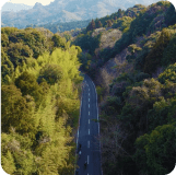
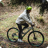
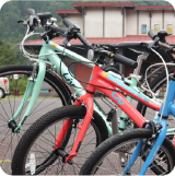
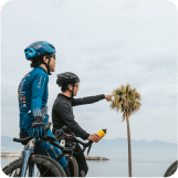
CYCLING ROADMAP INFO
- Local Guides’ Selected Route
-
Onyujima Island Cycling Course 20km
-
Bungo-Ono UNESCO Eco Park Cycling Course 28km
-
Maple Yaba Cycling Course 21km
-
Nio Rindo – Hiji Town Course 10km
- Advanced Courses SENIOR
-
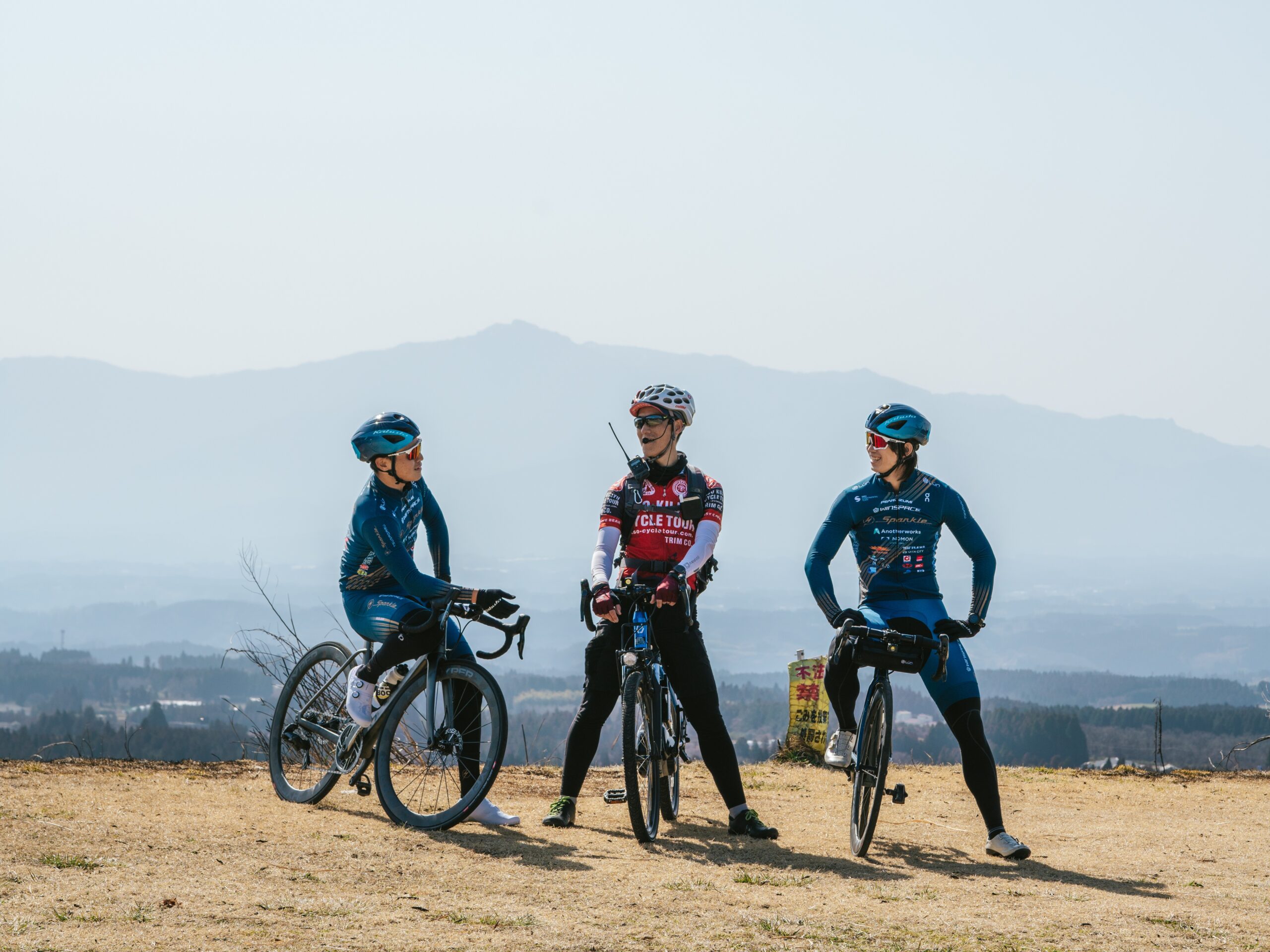
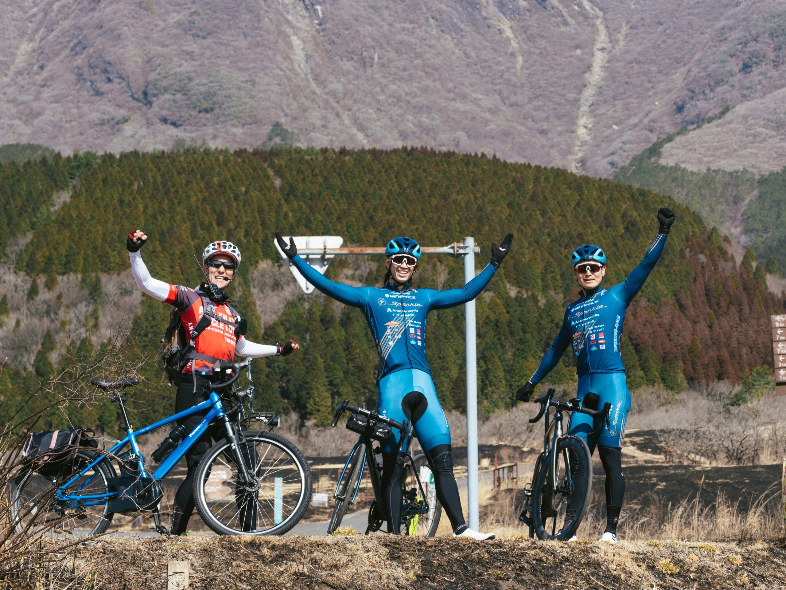
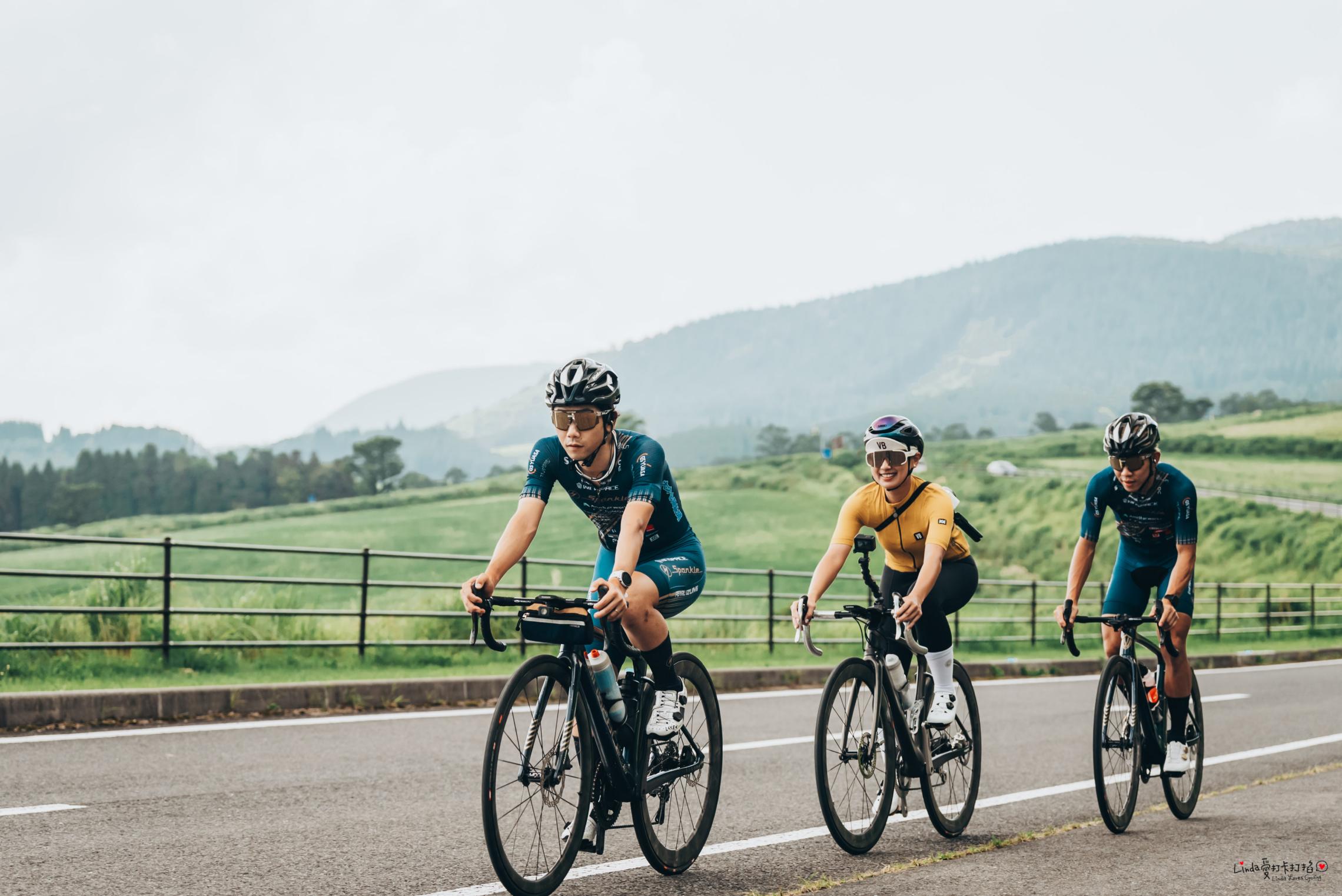
Tour de Kunisaki A & B Course 257km
-
Nio Rindo (Peninsula Circuit) Course 130km
-
Yamanami Highway Course 124km
-
Yufuin Ride Course 72km
-
Tour de Yunohira Course 70km
-
Yamanami Access (Kuju Kogen Connection) Course 60km
-
Tour de Saiki S Course 190km
-
Coastal Roads of Beppu Bay / Kunisaki Peninsula Course 152km
-
Oku-Bungo UNESCO Biosphere Reserve Course 99.9km
-
Tour de Kyushu 2024 Oita Stage Course 119km
- Beginner Courses AMATEUR
-
Kunisaki Peninsula cycle Routes -
-
Nakatsu Station–Yabakei Route 36km
-
Around Kuju Touring Road Course 68km
-
Access Yamanami (Yufuin Connection) Course 42km
-
Around Onyujima Island Course 17km
- Sightseeing Course TOURISM
-
Spa Ride Course 81km
-
Tour de Saiki Course 31km
-
Taketa Kuju Course 43km
-
Nio Rindo Course 78km
-
Maple Yabakei Course 11km
-
World Agricultural Heritage – Orange Road Course 53.3km
-
Aso Kuju National Park Course 37.5km
- City Ride Course CITY RIDE
-
Beppu-Oita Route 22.5km
-
Hiji-Kitsuki Route 29.7km
-
Usa-Bungotakada Route 29.5km
-
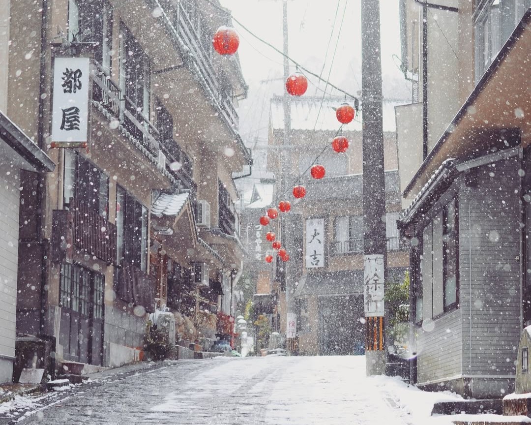
Hita Route 25.8km
-
Saiki Route 25.7km
-
Taketa – Bungo Ono Route 20.1km
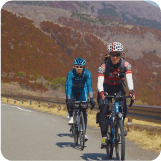
Recommended Courses
-
COURSE 01 Kunisaki Peninsula cycle Routes
 View Route
DATA
- Distance to Travel
- -
- Average Incline (Climbs)
- -
- Average Incline (Descents)
- -
- Elevation Gain (Climbs)
- -
- Elevation Gain (Descents)
- -
-
COURSE 02 Tour de Kunisaki A & B Course
Feel the wind through the Kunisaki Peninsula, where abundant nature and unique religious traditions come to life!
Tour de Kunisaki is one of the best ways to enjoy Kunisaki Peninsula. The A Course takes you around the whole peninsula on the coast, giving you great views of the Seto Inland Sea. You can also enjoy the easy-to-ride Orange Road, known for its lack of traffic. The B Course runs through the center of the peninsula.Take Prefectural Road 31, which cuts through the Ota region, for some beautiful scenery of serene rice fields. Crossing its highest point, Hashirimizu Toge (428m) will bring you to the coastal portion of this relatively tough 100 km course.
View RouteView RouteDATA
- Distance to Travel
- 257km
- Average Incline (Climbs)
- 3.8%
- Average Incline (Descents)
- 4%
- Elevation Gain (Climbs)
- 3,105m
- Elevation Gain (Descents)
- 3,100m
-
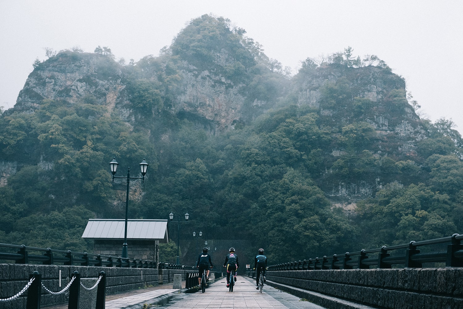
COURSE 03 Nio Rindo (Peninsula Circuit) Course
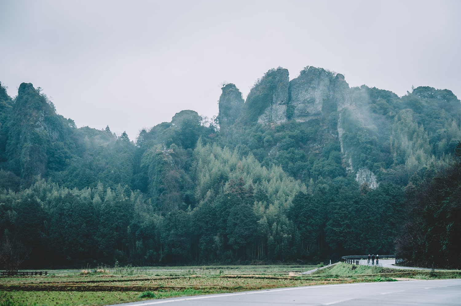
Of the 9 main Nio Rindo courses, this long course takes cyclists around the whole peninsula
The Kunisaki Peninsula is home to the elegant castle towns of Kitsuki and Hinode, and Bungo Takada, famous for its retro cityscape. It also boasts many sightseeing spots such as the Satoyama area, selected as a Globally Important Agricultural Heritage System, and the beautiful rias coastline. The route circling the peninsula is full of ups and downs with steep climbs requiring true pedal power, but is also perfect for those who enjoy long rides. There are also several locations offering rental bikes for beginners to enjoy.
View RouteView RouteDATA
- Distance to Travel
- 130km
- Average Incline (Climbs)
- -%
- Average Incline (Descents)
- -%
- Elevation Gain (Climbs)
- -m
- Elevation Gain (Descents)
- -m
-
COURSE 04 Nakatsu Station–Yabakei Route

A cycling road filled with exciting variety, including tunnels and bridges once used for the railway
Utilizing the tracks of the Yabakei Railway which went out of service in 1975, and sporting relatively gentle climbs, this cycling road is great for beginners. Enjoy the beautiful valleys and rural scenery of Yabakei Gorge, or come during the fall foilage season for a plethora of like-minded cyclists.
View RouteView RouteDATA
- Distance to Travel
- 36km
- Average Incline (Climbs)
- 2.3%
- Average Incline (Descents)
- 2.9%
- Elevation Gain (Climbs)
- 238m
- Elevation Gain (Descents)
- 98m
-
COURSE 05 Yamanami Highway Course
Relaxed riding through a special location with mountains for miles!
Selected as one of Japan's best roads, the Yamanami Highway connects Oita and Kumamoto. Surrounded by 360 degrees of nature, it is one of the best cycling roads in Kyushu.
View RouteView RouteDATA
- Distance to Travel
- 124km
- Average Incline (Climbs)
- 4.7%
- Average Incline (Descents)
- 4.7%
- Elevation Gain (Climbs)
- 2,497m
- Elevation Gain (Descents)
- 2,312m
-
COURSE 06 Yufuin Ride Course
From the atmospheric streets of Yufuin to the world of dazzling highlands!
Yufuin is known as one of the best onsen hot spring towns in Japan. There are two courses: an appx. 70 km course that circles Yufuin and Ajimu, and the 20 km Tsukahara Kogen strolling short course that boasts steep climbs. Once you complete the course of your choice, enjoy a delicious meal and a dip in a Yufuin hot spring to rest your weary muscles.
View RouteView RouteDATA
- Distance to Travel
- 72km
- Average Incline (Climbs)
- 4.4%
- Average Incline (Descents)
- 4.7%
- Elevation Gain (Climbs)
- 1,256m
- Elevation Gain (Descents)
- 1,261m
-
COURSE 07 Tour de Yunohira Course
A hill climb course that starts in a hot spring town
This course connects Yudaira Onsen, a hot spring resort famous for its elegant stone roads, to the Kusumi Plateau with its magnificent views of the nature of Aso-Kuju National Park.Though you'll be surrounded by verdant, relaxing nature, the two courses are sure to provide excitement. One is a 70 km long course with 2,200 meters of elevation gain, while the other is a short 29 km course that partway through goes back through the deep underground waters of Asono. The traffic on these courses is relatively low, making them perfect for those who want to enjoy the scenery on their ride. After a tough ride with a pleasant fall breeze at your back, why not enjoy a long dip in a hop spring?
View RouteView RouteDATA
- Distance to Travel
- 70km
- Average Incline (Climbs)
- 7.3%
- Average Incline (Descents)
- 7.1%
- Elevation Gain (Climbs)
- 2,217m
- Elevation Gain (Descents)
- 2,216m
-
COURSE 08 Around Kuju Touring Road Course
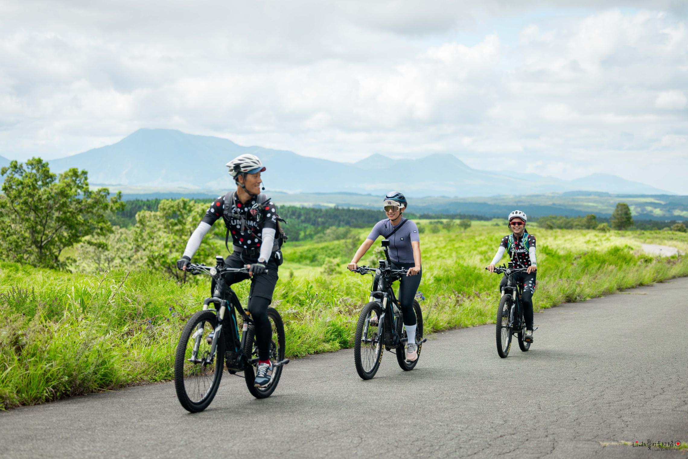
Feel the plateau's pleasant breeze while circling around the Kuju Mountains!
The mountains that spread out at the southern end of the Iida Kogen plataeu on the border of Oita and Kumamoto prefectures, with some peaks reaching 1,700 meters, are known as the Kuju Mountains. This course takes you around the Kuju mountains, letting you enjoy the changing expressions of the seasons as you cycle along the beautiful plateau. Relax your muscles at an onsen, or try some shaved ice to sate a dry throat. Some farms along the way serve delicious soft-serve ice cream—why not take a break on your cycling adventure?
View RouteView RouteDATA
- Distance to Travel
- 68km
- Average Incline (Climbs)
- 4.9%
- Average Incline (Descents)
- 5.8%
- Elevation Gain (Climbs)
- 1,521m
- Elevation Gain (Descents)
- 1,552m
-
COURSE 09 Access Yamanami (Yufuin Connection) Course
A Gentle Detour Course to Yufuin
This course takes you from Oita city to Yufuin, but with less ups and downs than the Yamanami Highway Course—perfect for a relaxing ride. It's recommended for cyclists who would like to make it to Yufuin, but don't have the confidence to ride the Yamanami Highway.
View RouteView RouteDATA
- Distance to Travel
- 42km
- Average Incline (Climbs)
- 3.6%
- Average Incline (Descents)
- 3.4%
- Elevation Gain (Climbs)
- 744m
- Elevation Gain (Descents)
- 187m
-
COURSE 10 Yamanami Access (Kuju Kogen Connection) Course
A Gentle Detour Course to Kuju Plateau
This course takes you from Oita city to the Kuju Kogen plateau, but with less ups and downs than the Yamanami Highway Course—perfect for a relaxing ride.
View Route
It's recommended for cyclists who would like to make it to Yufuin, but don't have the confidence to ride the Yamanami Highway.View RouteDATA
- Distance to Travel
- 60km
- Average Incline (Climbs)
- 4.8%
- Average Incline (Descents)
- 4%
- Elevation Gain (Climbs)
- 1,483m
- Elevation Gain (Descents)
- 539m
-
COURSE 11 Tour de Saiki S Course
A Special 190 km Course with 2,269 m of Elevation Gain
This is a tough course whose 190 kilometers must be completed in 9 hours for the Tour de Saiki. Adventure around Saiki City, now Kyushu's largest city by land area.
View Route
This course is recommended for those who want a challenge.View RouteDATA
- Distance to Travel
- 190km
- Average Incline (Climbs)
- 4%
- Average Incline (Descents)
- 4.1%
- Elevation Gain (Climbs)
- 2,269m
- Elevation Gain (Descents)
- 2,263m
-
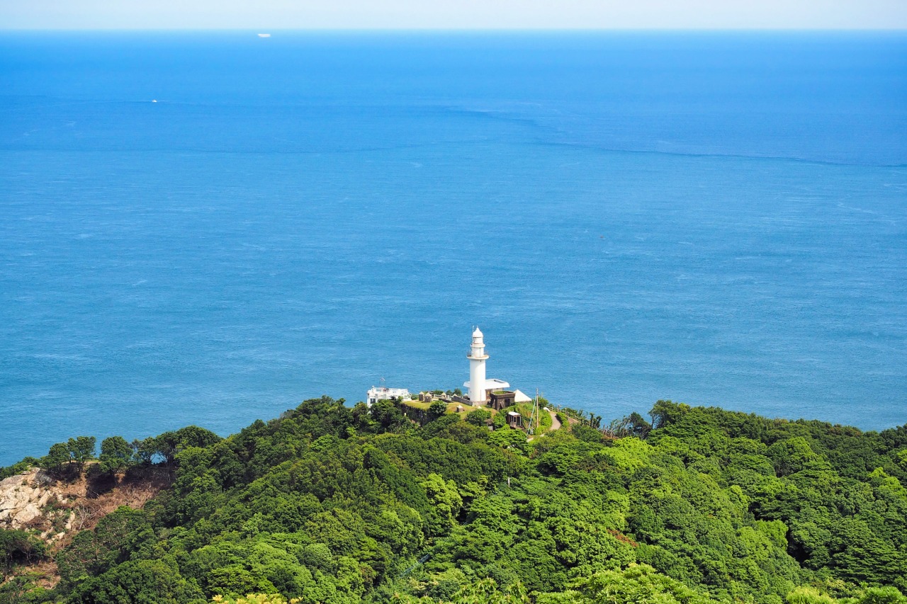
COURSE 12 Around Onyujima Island Course

Cross over to Onyujima by Ferry and Circle its Coast!
Onyujima is located in Saiki Bay, which faces the Bungo Channel. This course provides views of Saiki's beautiful sparkling waters while circling the island's coast. The "Shokusaikan" food market on Onyushima rents out tandem bicycles. Go with the family, or as a couple and enjoy the island sea breeze on your cycling journey.
View RouteView RouteDATA
- Distance to Travel
- 17km
- Average Incline (Climbs)
- -
- Average Incline (Descents)
- -
- Elevation Gain (Climbs)
- -
- Elevation Gain (Descents)
- -
-
COURSE 13 Spa Ride Course
A cafe tour around Yufuin, Bepu and Oita!
This is a sightseeing course that takes you around the prefecture's three main areas. Visit cyclist-friendly cafes, catch breathtaking of Yufuin from Sagiridai Overlook, or ride the coast on Betsudai National Road on this adventure filled course.
View RouteView RouteDATA
- Distance to Travel
- 81km
- Average Incline (Climbs)
- 5%
- Average Incline (Descents)
- 5%
- Elevation Gain (Climbs)
- 999m
- Elevation Gain (Descents)
- 998m
-
COURSE 14 Tour de Saiki Course
Enjoy the Bounty of the Sea with the new Tour de Saiki Sightseeing Course!
This sightseeing course was born from the cycling event Tour de Saiki, and offers stunning views of the seas, mountains and rivers, and excitement around various areas with Saiki city as the stage! A cycling route friendly for beginners and families, there are plenty of spots to have fun with the kids. Try the local cuisine born from the amicable climate and bountiful nature of the area.
View RouteView RouteDATA
- Distance to Travel
- 31km
- Average Incline (Climbs)
- 0%
- Average Incline (Descents)
- 0%
- Elevation Gain (Climbs)
- 51m
- Elevation Gain (Descents)
- 52m
-
COURSE 15 Taketa Kuju Course
Take in scenic views on a ride from the Kuju Kogen Plateau to Taketa Castle Town
This is an advanced downhill course that takes cyclists from the Kuju Kogen Plateau down to Taketa Castle Town. Known as one of Kyushu's foremost sightseeing areas, visitors can enjoy its bountiful nature, natural hot springs, and exquisite food. Road bikes, e-bikes and mountain bikes are available for rentals, making it easy to enjoy with little preparation. Relax in an onsen hot spring between rides, or enjoy nature while trying some local cuisine.
View RouteView RouteDATA
- Distance to Travel
- 43km
- Average Incline (Climbs)
- 2.1%
- Average Incline (Descents)
- 2.1%
- Elevation Gain (Climbs)
- 409m
- Elevation Gain (Descents)
- 1,122m
-
COURSE 16 Nio Rindo Course
A 2 day 1 night relaxing ride on an e-bike
Rent an e-bike from Kitsuki Furusato Sangyo Hall and experience the various sights of the Kunisaki Peninsula. Aboard an e-bike, even beginners can tackle the gentle slopes of the coastline and mountains. With rental batteries available as well, visitors can enjoy a relaxing and safe one day, two night cycling journey. Try Kunisaki's local cuisine, visit Futagoji, the iconic temple of the Kunisaki Peninsula, or visit Tashibu-no-sho, selected as a Globally Important Agricultural Heritage System for its traditional rice agriculture on this sightseeing course jam packed with adventure.
View RouteView RouteDATA
- Distance to Travel
- 78km
- Average Incline (Climbs)
- 1.1%
- Average Incline (Descents)
- 1.1%
- Elevation Gain (Climbs)
- 1,122m
- Elevation Gain (Descents)
- 1,122m
-
COURSE 17 Maple Yabakei Course
A local ride through Nakatsu city's Yabakei Gorge, highly recommended by local guides!
This beginner-friendly course runs along a cycling road that utilizes the tracks of the old Yabakei Railway. Discover local cuisine and cafes that come highly recommended by local guides. The Yabakei Cycling Terminal starting location offers rentals for electronically assisted bikes, road and hybrid bikes, children cycles, bikes with child seats attached, and even tandem bicycles amongst a plethora of other choices. Take in the spectacular views at Yabakei Gorge while meeting locals for a fulfilling experience.
View RouteView RouteDATA
- Distance to Travel
- 11km
- Average Incline (Climbs)
- 0.5%
- Average Incline (Descents)
- 0.5%
- Elevation Gain (Climbs)
- 55m
- Elevation Gain (Descents)
- 96m
-
COURSE 18 Coastal Roads of Beppu Bay / Kunisaki Peninsula Course
Escape the bustle of the city in Beppu and Oita, and ride along the coast
This road goes along the Kunisaki Peninsula coast through Beppu, Oita, and Saganoseki. Enjoy a refreshing ride with the cool sea breeze at your back. Visit venerated shrines and temples along the Kunisaki Peninsula, which is home of the unique and ancient Rokugomanzan culture. Along the bay, view the sunset at Madama Beach, selected as one of the "100 best sunsets in Japan." Also, Betsudai National Road has a cycling road that many cyclists enjoy riding on every day. Though it is a 152 km long course, it has relatively few ups and downs, and can be enjoyed by beginners, or those who wish to use e-bikes on their journey.
View RouteView RouteDATA
- Distance to Travel
- 152km
- Average Incline (Climbs)
- 3.4%
- Average Incline (Descents)
- 3.3%
- Elevation Gain (Climbs)
- 1,204m
- Elevation Gain (Descents)
- 1,095m
-
COURSE 19 Beppu-Oita Route
Cycling Along the Seaside Connecting Beppu to Oita!
Cycling route along the coastline from Beppu to Nishi-Oita. Once you rent a bicycle at WANDER COMPASS BEPPU, embark on a cycling journey! After getting recommendations for Beppu's must-visit spots from 'Ikyu-san' at ARUCO DE BEPPU, explore the city of Beppu. You are guaranteed to discover the deep charm of Beppu. After enjoying Beppu, cycle along the scenic coastline while feeling the sea breeze. Take a break by the beautiful seaside at Tano-ura Beach or Kantan Port Park if you feel a bit tired. In stylish Nishi-Oita, where there are many fashionable spots, photo opportunities abound! This route is packed with the charms of Oita that everyone, from adults to children, can enjoy.
View RouteView RouteDATA
- Distance to Travel
- 22.5km
- Average Incline (Climbs)
- 4.1%
- Average Incline (Descents)
- -4.3%
- Elevation Gain (Climbs)
- 135m
- Elevation Gain (Descents)
- 134m
-
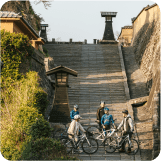
COURSE 20 Hiji-Kitsuki Route
Leisurely Cycling through a Historic Castle Town!
Departing from Hiji, the destination is the castle town of Kitsuki. Passing through charming buildings and streets, this course allows you to feel the history. Kitsuki's castle town is filled with gourmet spots, making it a perfect place for a delightful meal break. Along the way, make stops at Oga Fishing Port and Itogahama Kaihin Park to refresh while enjoying the sea view! The road towards the coast has a satisfying mix of ups and downs, offering a fulfilling cycling experience. You'll undoubtedly feel a sense of accomplishment upon reaching your destination.
View RouteView RouteDATA
- Distance to Travel
- 29.7km
- Average Incline (Climbs)
- 9%
- Average Incline (Descents)
- -9.2%
- Elevation Gain (Climbs)
- 315m
- Elevation Gain (Descents)
- 315m
-
COURSE 21 Usa-Bungotakada Route
Course exploring Showa retro streets from Usa Jingu Shrine!
When you rent a bicycle from the Usa City Tourist Association, embark on a journey to feel the history! The course features expansive flat terrain with rural landscapes, making it suitable for beginners and children. After learning about history at Usa Jingu Shrine and the history museum, head to the 'Showa Town' in Bungotakada. Enjoy the retro Showa-era streets, indulge in nostalgic school lunch, and take a break. For those confident in their stamina, consider extending your trip to Matama Coast. At the adjacent 'Yuhi Terrace,' enjoy the beach resort vibes while overlooking the sea. Conclude your journey with a delicious meal for your tired body at the coffee shop 'Kissa Renge,' conveniently located next to JR Usa Station. You can drop off the rental bicycle you borrowed from Usa Jingu Shrine here, making the return journey easily accessible.
View RouteView RouteDATA
- Distance to Travel
- 29.5km
- Average Incline (Climbs)
- 3.8%
- Average Incline (Descents)
- -4.4%
- Elevation Gain (Climbs)
- 133m
- Elevation Gain (Descents)
- 153m
-
COURSE 22 Hita Route
Embark on a Journey to the Holy Land of "Attack on Titan"!
When it comes to Hita, it is the birthplace of Hajime Isayama, the author of 'Attack on Titan.' Explore the 'Attack on Titan Spots' scattered throughout Hita city on a cycling route. Utilize the newly launched COGICOGI bike-sharing service within Hita city and get ready to embark on your journey! After seeing the 'Levi Statue' at the Hita Station South Square, extend your route to Oyama Dam to visit the statues of the young Eren, Mikasa, and Armin. The dam, resembling the 'walls,' is truly impressive. About 4 km from Oyama Dam, take a break at Soufuren and enjoy the famous Hita Yakisoba. Once your stomach is satisfied, visit the 'Attack on Titan in HITA Museum' near Oyama Dam and the 'Attack on Titan in HITA Museum ANNEX' within the Sapporo Beer Factory to see valuable original drawings. Finish your journey at the 'Attack on Titan Hita Cafe.' After completing the ride, there's no doubt you'll want to revisit the world of 'Attack on Titan!'
View RouteView RouteDATA
- Distance to Travel
- 25.8km
- Average Incline (Climbs)
- 23.4%
- Average Incline (Descents)
- -25.4%
- Elevation Gain (Climbs)
- 443m
- Elevation Gain (Descents)
- 450m
-
COURSE 23 Saiki Route
A route to fully enjoy the nature of Saiki, with the sea, mountains, and rivers!
A town putting emphasis on cycling, Saiki offers a variety of rental bicycles. Once you've selected your favorite from the diverse range of rental bikes, it's time to set off on your cycling adventure. At one of Saiki's popular spots, the "Saiki Umi no Ichiba Maru Senndo Ichi" market, you can enjoy the fresh seafood unique to Saiki. The popular "sushi buffet" can sometimes sell out, so an early visit is recommended. After enjoying the sea, head to Honsho to experience the mountains and rivers. Cycling alongside the beautiful Bansho River allows you to fully immerse yourself in nature. It's also great to play in the river during the summer. This cycling route is suitable for both adults and children to enjoy together.
View RouteView RouteDATA
- Distance to Travel
- 25.7km
- Average Incline (Climbs)
- 14.2%
- Average Incline (Descents)
- -14.8%
- Elevation Gain (Climbs)
- 268m
- Elevation Gain (Descents)
- 268m
-
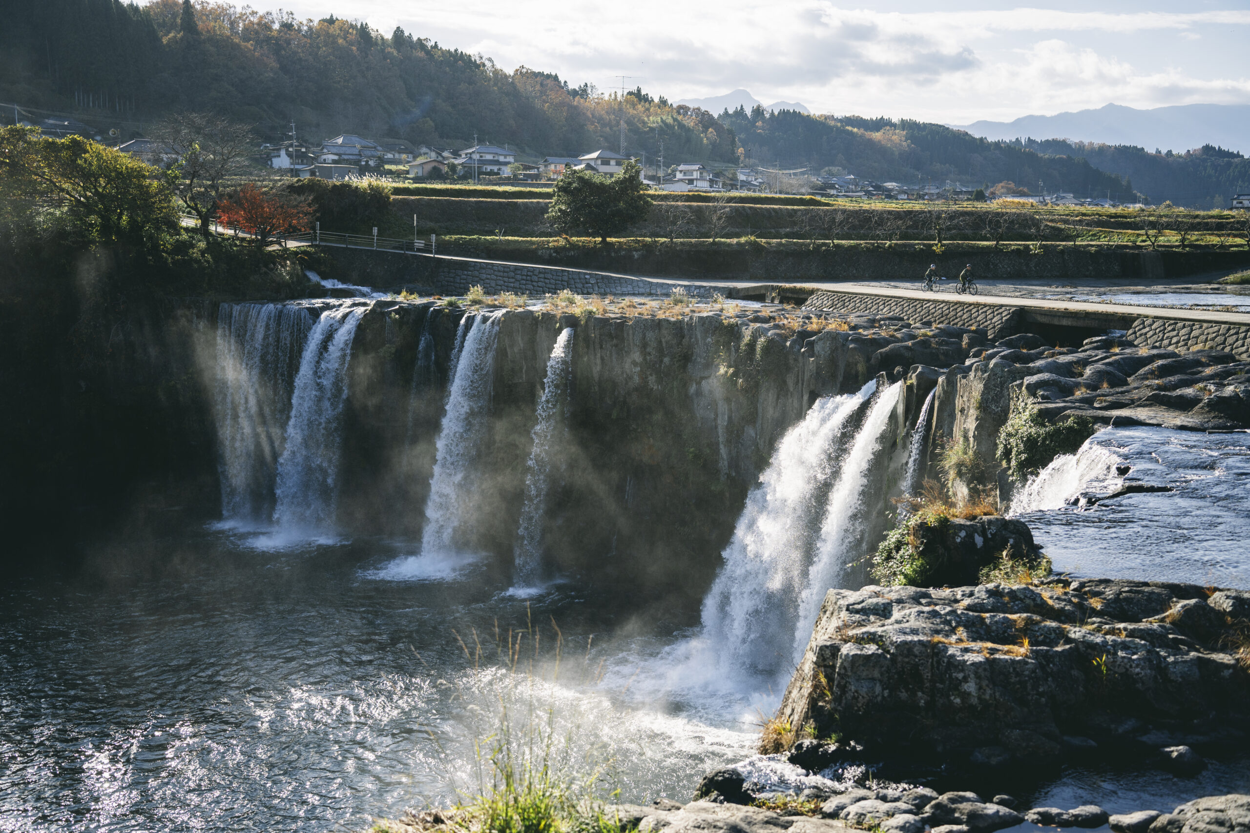
COURSE 24 Taketa – Bungo Ono Route
Enjoy the nature of Taketa Castle Town and Bungo-Ōno!
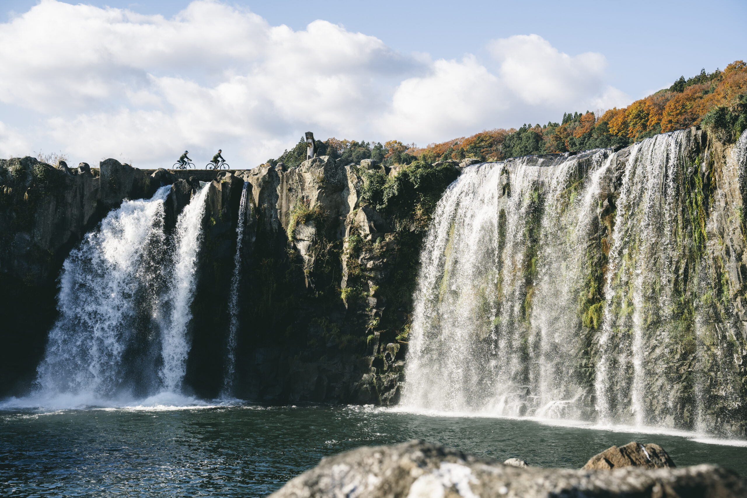
In the nostalgic atmosphere of Taketa, why not rent a bicycle and explore places like Okajo Park and the castle town? Riding a bike is sure to lead to new discoveries. "Taketa Ekimae Hostel Cue" located in front of the station is a spot you definitely want to stay at. In the nature-rich Bungo-Ōno, you're guaranteed to be amazed by the power of Harajiri Falls! There are also plenty of spots perfect for lunch or café stops during your cycling trip, such as "Takagiya Garden SASARA" and "Cocomio". Relax in cozy spaces and enjoy your cycling adventure.
View RouteView RouteDATA
- Distance to Travel
- 20.1km
- Average Incline (Climbs)
- 12.4%
- Average Incline (Descents)
- -10.3%
- Elevation Gain (Climbs)
- 277m
- Elevation Gain (Descents)
- 285m
-
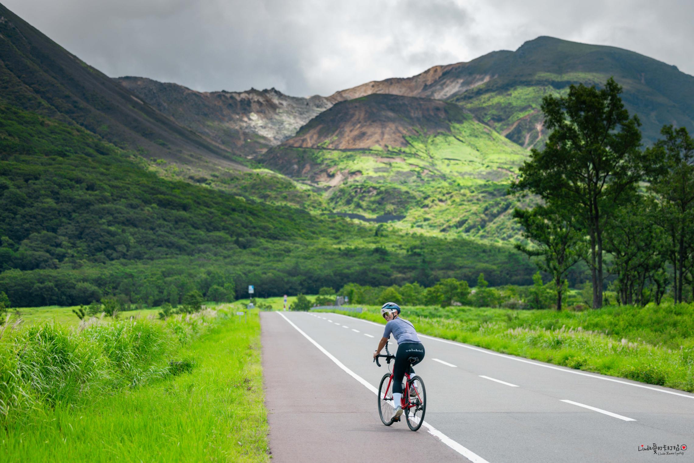
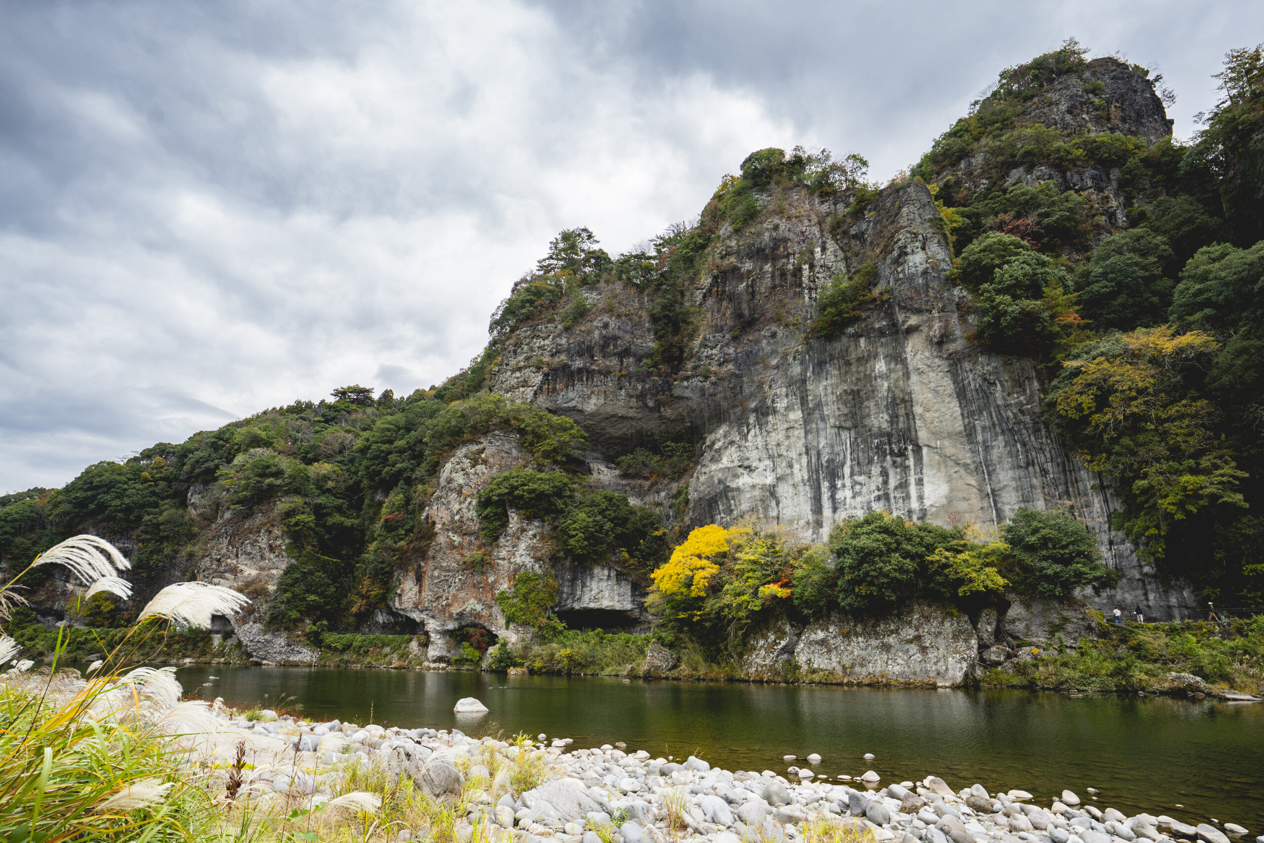
COURSE 25 Oku-Bungo UNESCO Biosphere Reserve Course
Experience the Great Outdoors! UNESCO Biosphere Reserve – Bungoono
"The UNESCO Biosphere Reserve course in Bungoono City is a cycling route that allows you to immerse yourself in the rich natural landscapes of the Sobo, Katamuki, and Okue mountain ranges, while fully enjoying the unique charm of the region.
View Route
Along the route, you'll encounter breathtaking scenic spots such as Harajiri Falls and Hakusui Dam, where nature and culture beautifully harmonize. Bungoono, a town that embraces a lifestyle in harmony with nature, offers stunning landscapes and warm local hospitality to every visitor.
Take your time and enjoy a refreshing ride through this remarkable biosphere reserve."View RouteDATA
- Distance to Travel
- 99.9km
- Average Incline (Climbs)
- 17%
- Average Incline (Descents)
- 16.5%
- Elevation Gain (Climbs)
- 2,153m
- Elevation Gain (Descents)
- 2,159m
-
COURSE 26 World Agricultural Heritage – Orange Road Course
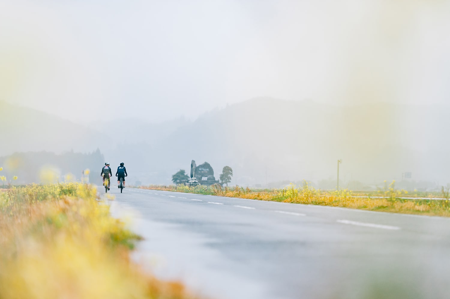
A Route Through the Breathtaking Landscapes of World Agricultural Heritage - Orange Road
This cycling route takes you through the stunning landscapes shaped by traditional agriculture and nature in the World Agricultural Heritage ""Kunisaki Peninsula and Usa Region."" Spanning approximately 30 km, this scenic farm road connects Kunisaki City and Kitsuki City, offering breathtaking views that change with the seasons—from vibrant green foliage in spring to brilliant autumn leaves.
View Route
The gently rolling terrain provides an enjoyable ride for cyclists of all levels, from beginners (e-bike recommended) to advanced riders. Along the way, you'll pass through lush orchards where you can taste locally grown fruits.
Blending history, nature, and culture, this route is perfect for cyclists seeking a refreshing and rewarding ride.View RouteDATA
- Distance to Travel
- 53.3km
- Average Incline (Climbs)
- 11.7%
- Average Incline (Descents)
- 12%
- Elevation Gain (Climbs)
- 1,193m
- Elevation Gain (Descents)
- 1,210m
-
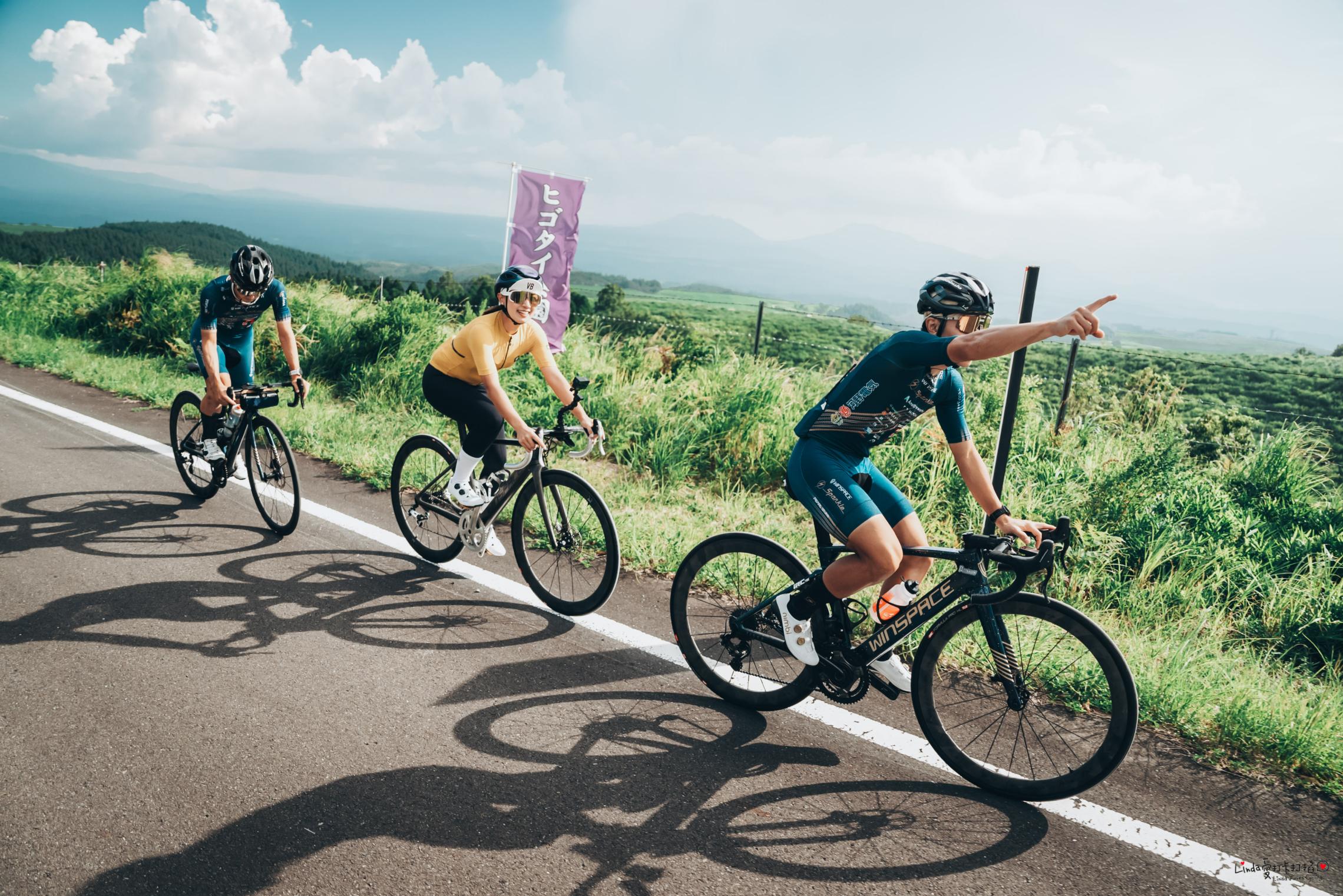
COURSE 27 Aso Kuju National Park Course
Immerse Yourself in Majestic Nature! Aso Kuju National Park Cycling
This special cycling course was created as part of the ""Aso Kuju Cycle Fest '24,"" hosted by the Sparkle Oita Racing Team, set against the breathtaking backdrop of Aso Kuju National Park.
View Route
The route primarily follows the Yamanami Highway, running along the foothills of the Kuju Mountain Range, offering an immersive experience in vast and stunning nature.
The course's highlights include the exhilarating ride through spectacular landscapes and the unique opportunity to enjoy local gourmet specialties exclusive to the event.
This ride is a perfect blend of nature, scenic beauty, and local culture, promising an unforgettable cycling experience.View RouteDATA
- Distance to Travel
- 37.5km
- Average Incline (Climbs)
- 9.1%
- Average Incline (Descents)
- 9%
- Elevation Gain (Climbs)
- 767m
- Elevation Gain (Descents)
- 767m
-
COURSE 28 Tour de Kyushu 2024 Oita Stage Course
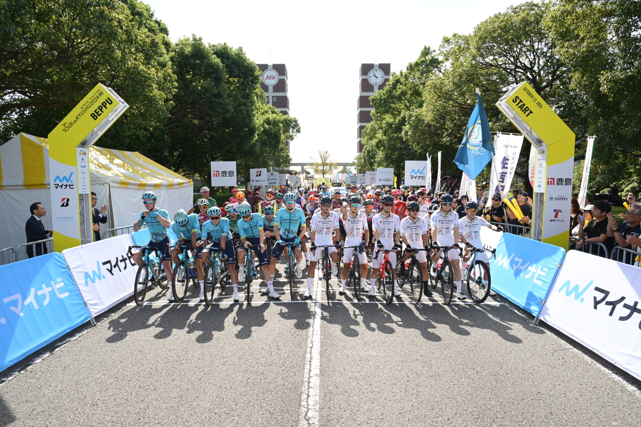
Challenge the Tour de Kyushu 2024 – Oita Stage!
A Cycling Route to Fully Enjoy the Majestic Nature of Oita
View Route
This cycling route allows you to fully experience the magnificent nature of Oita. The journey starts at Ritsumeikan Asia Pacific University in Beppu City, passing through Yufuin Onsen and leading to the breathtaking Yamanami Highway. In particular, at Chojabaru, vast landscapes spread out before you, offering an exceptional sense of exhilaration.
In the middle section of the course, there are three major climbing sections. While some parts feature continuous uphill stretches, if you go at your own pace, the sense of accomplishment will be even greater. At the summit, stunning scenic views await, making the climb well worth the effort.
Towards the end, the route heads into Hita City, leading to a loop course centered around Omiya Hachimangu Shrine. This section is flat and easy to ride, allowing you to enjoy the charming townscape.
This course is designed so that you can experience the beauty of nature and the local culture at your own pace. Take it easy and fully immerse yourself in the beauty of Kyushu.View RouteDATA
- Distance to Travel
- 119km
- Average Incline (Climbs)
- 17.5%
- Average Incline (Descents)
- 17.9%
- Elevation Gain (Climbs)
- 2,691m
- Elevation Gain (Descents)
- 2,896m
-
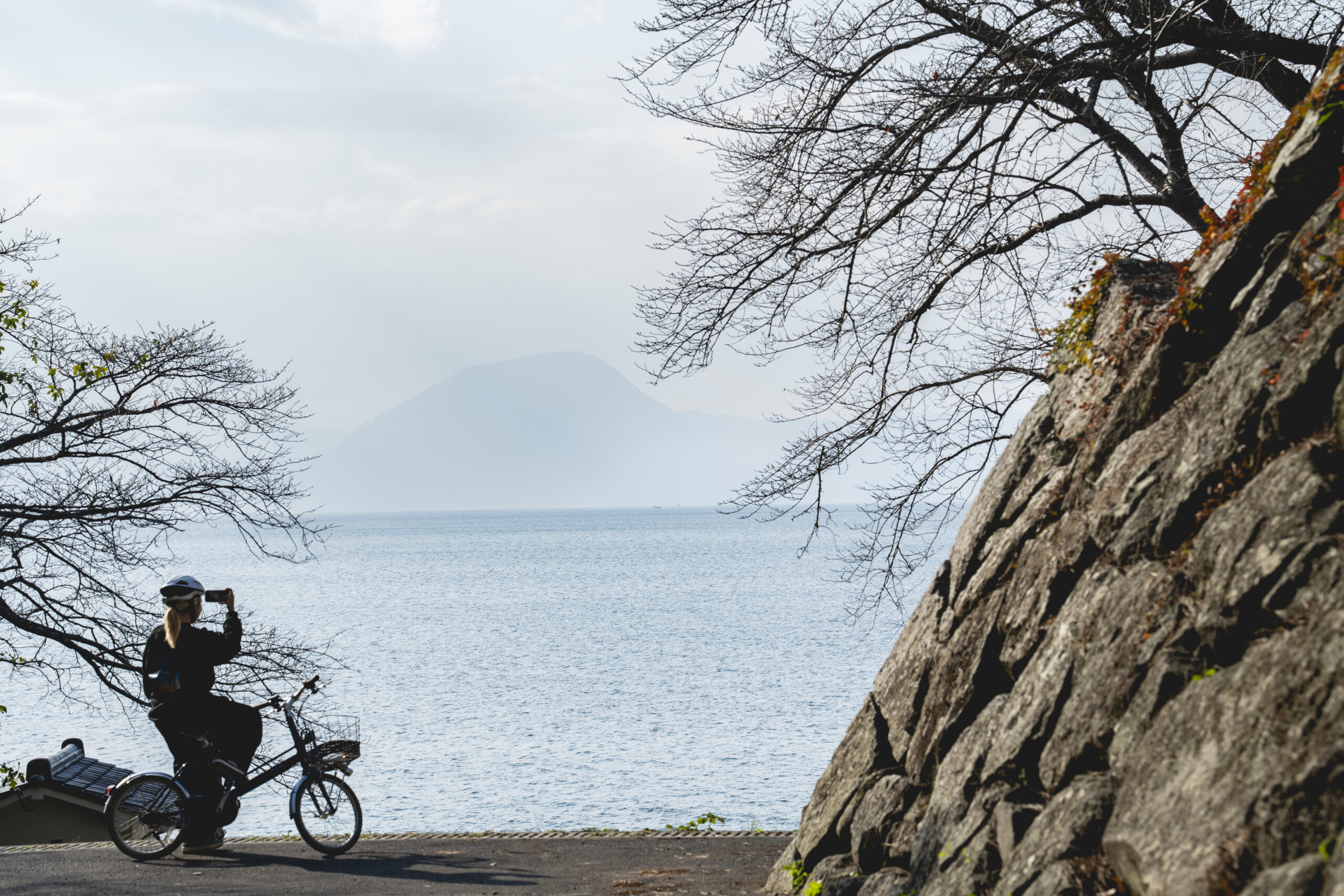
COURSE 29 Onyujima Island Cycling Course
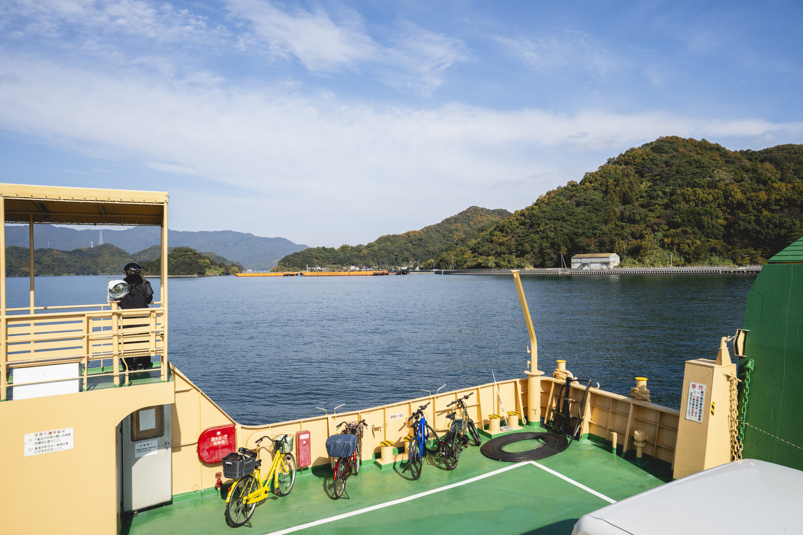
An Island Journey Beyond the Ferry
Just a seven-minute ferry ride from central Saiki, Onyujima Island is a small island where time moves gently. As you step off the boat, the sea breeze and quiet rhythms of daily life welcome you. Cycling around the island, you’ll find warm hospitality, from cyclist-friendly lunches to hands-on plant-dyeing experiences with locals. The short boat trip itself adds to the charm, offering a relaxing insular journey.
View RouteView RouteDATA
- Distance to Travel
- 20km
- Average Incline (Climbs)
- 5.2%
- Average Incline (Descents)
- 4.1%
- Elevation Gain (Climbs)
- 188m
- Elevation Gain (Descents)
- 189m
-
COURSE 30 Bungo-Ono UNESCO Eco Park Cycling Course
Where Nature and History Breathe Together
Cycling through Bungo-Ono, a UNESCO Ecopark, you are met one after another by cool clear streams, dramatic cliffs and caves shaped by ancient volcanoes, and gentle rural landscapes. With an e-bike handling the hills, you're free to absorb it all: shifting light, changing breezes, the connection between nature and history is woven into this landscape. The more you ride, the more stories of this place quietly infuse your heart.
View RouteView RouteDATA
- Distance to Travel
- 28km
- Average Incline (Climbs)
- 10.2%
- Average Incline (Descents)
- 10.2%
- Elevation Gain (Climbs)
- 436m
- Elevation Gain (Descents)
- 437m
-
COURSE 31 Maple Yaba Cycling Course
Ride Through Time in Yabakei
A cycling route that follows the former Yabakei Railway, where trains once carried people through the valley. Each time you pass over an old bridge or through a small tunnel, rugged rocky mountains, season-colored trees, and open farmland appear one after another, showing the many changing faces of Yabakei. Here, traces of the past blend gently with today’s quiet landscape, creating a road where you can slowly savor both nature and history.
View RouteView RouteDATA
- Distance to Travel
- 21km
- Average Incline (Climbs)
- 5.1%
- Average Incline (Descents)
- 4.9%
- Elevation Gain (Climbs)
- 258m
- Elevation Gain (Descents)
- 258m
-
COURSE 32 Nio Rindo – Hiji Town Course
A Gentle Ride Through Refined Simplicity
Hiji, a former castle town shaped by the shimmering light of Beppu Bay and its abundant spring water, offers gentle moments to those who explore it by bicycle. As you ride through quiet backstreets, the warmth of daily life, preserved culture, and subtle breath of nature draw near. It is a place where refined simplicity lives quietly. Pedaling through scenery that captivates both locals and visitors, you can slowly melt into the town’s peaceful rhythm.
View RouteView RouteDATA
- Distance to Travel
- 10km
- Average Incline (Climbs)
- 8.7%
- Average Incline (Descents)
- 10.2%
- Elevation Gain (Climbs)
- 125m
- Elevation Gain (Descents)
- 124m